NEW YORK, Jan 17, 2026, 10:33 EST
- Meteomatics reports that NOAA’s National Mesonet Program is set to integrate weather-drone data into National Weather Service operations for the first time
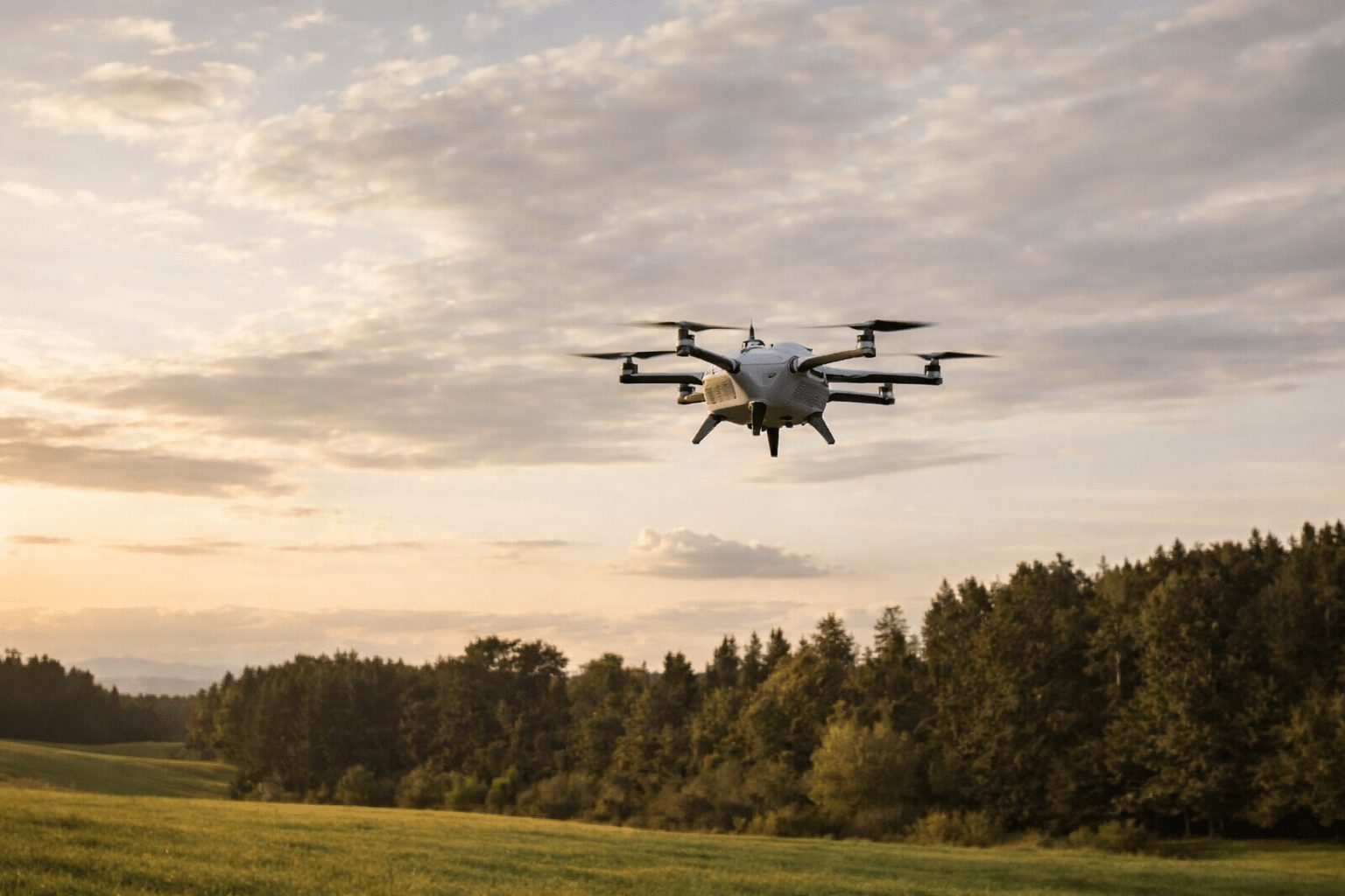
- These drones are built to measure wind, humidity, and temperature in the lower atmosphere, a layer that’s often under-monitored.
- Flights will kick off from a remotely operated base in Oklahoma, with data flowing through KBR and Synoptic Data
NOAA is set to start incorporating “weather drone” data into U.S. forecasting through a new collaboration with Swiss weather-data provider Meteomatics, the company announced this week. The data stream will be integrated via NOAA’s National Mesonet Program, which currently aggregates information from non-federal sources, covering 35,000 observation sites nationwide. 1
The effort focuses on a persistent blind spot in the U.S. weather monitoring network: the lower atmosphere, stretching from about 50 feet up to 20,000 feet above the ground. This zone is critical—where fog develops, storms begin to form, and hazardous low-level winds shift—but it’s notoriously difficult to observe with precision. 2
Meteomatics is banking on improved sampling in that layer to sharpen real-time forecasts that impact the public—like deciding if a winter storm will bring rain, snow, or ice, or tracking how smoke and poor air quality move. The company aims for more precise warning timings and fewer ripple effects in industries like aviation and highway management. 3
The pilot will integrate Meteomatics’ autonomous “Meteodrones” into daily workflows through the National Mesonet Program, with KBR as the prime contractor and Synoptic Data PBC managing data delivery, Commercial UAV News reported. “Public-private partnerships like the National Mesonet Program are essential to expand national weather observing capabilities,” said Meteomatics CEO Martin Fengler. Synoptic Data President and CEO Ashish Raval added that the initiative aims to provide “the most high-quality, lowest latency data” to NOAA and Weather Service systems.
Meteomatics is set to carry out regular flights from a remotely operated “Meteobase” in Oklahoma through April 2026, with all operations controlled from a central hub, AVweb reported. Ellen Cousins, KBR’s National Mesonet Program manager, described the use of drone data as “a major step forward” for enhancing vertical profiling—taking repeated measurements at multiple altitudes—within the U.S. weather observation network. 4
NOAA’s Weather Service has been experimenting with commercial drone data through research agreements, including a two-year deal signed in May 2024 to operate Meteomatics drones at GrandSKY in North Dakota, reaching altitudes up to 16,900 feet. Curtis Marshall, who leads the agency’s Commercial Data Program, emphasized then that “additional observations in the atmospheric boundary layer” are crucial for enhancing forecasts and warnings. This boundary layer refers to the lowest section of the atmosphere near the surface. 5
The drone feed adds another player to the packed field of private weather data providers supplying government systems. The National Mesonet Program’s site names commercial collaborators like WeatherFlow Inc., WindBorne Systems, and Sofar Ocean, among others. 6
However, this effort begins as a pilot rather than a full overhaul of the national network. It remains uncertain how much the additional profiles improve forecast “skill” when integrated continuously, or if the program can expand beyond just one launch location.
Weather drones excel at one task: ascending and descending above a fixed spot, creating a stable profile that stays put during flight. This makes it easier for forecasters to detect rapid shifts near the ground, where conditions can shift abruptly.
Meteomatics hasn’t revealed the number of drones it intends to operate in Oklahoma or their launch frequency, nor has it shared any financial details about the pilot program.


